26 augustus 1789: La Déclaration des Droits de l’Homme et du Citoyen
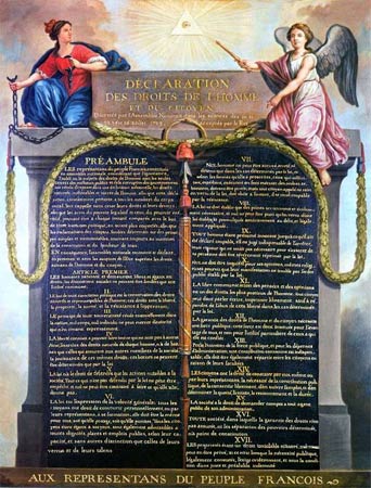
Déclaration des Droits de l’Homme et du Citoyen
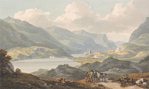
In de achttiende eeuw werden de laatste delen van de wereld in kaart gebracht en legde Engeland de basis voor een wereldrijk. In Londen had men niet alleen grote behoefte aan kaarten van de overzeese gebieden maar ook aan topografische landschappen. Fotografie bestond nog niet dus legden kunstenaars vast hoe het er in den vreemde uitzag. Zo kwam in de achttiende eeuw in Engeland de aquarelkunst tot bloei. In vergelijking met olieverf is waterverf gemakkelijk te hanteren en kan er snel mee gewerkt worden. Vandaag: John Warwick Smith (1749 – 1831)
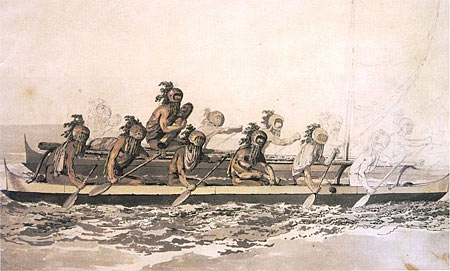
In de achttiende eeuw werden de laatste delen van de wereld in kaart gebracht en legde Engeland de basis voor een wereldrijk. In Londen had men niet alleen grote behoefte aan kaarten van de overzeese gebieden maar ook aan topografische landschappen. Fotografie bestond nog niet dus legden kunstenaars vast hoe het er in den vreemde uitzag. Zo kwam in de achttiende eeuw in Engeland de aquarelkunst tot bloei. In vergelijking met olieverf is waterverf gemakkelijk te hanteren en kan er snel mee gewerkt worden. Vandaag: John Webber (1751-1793)
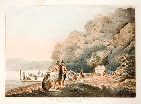
John Webber was een van de kunstenaars die meevoer met James Cook tijdens zijn derde reis (1776-1780). De reis voerde via Kaapstad naar Tasmanië, dat toen nog Van Diemensland heette. Vanuit Nieuw-Zeeland begonnen de HMS Resolution en de HMS Discovery de Stille Zuidzee te verkennen. Rarotonga, de Cookeilanden en de Australeilanden werden ontdekt. Webber maakte niet alleen tekeningen en aquarellen van de landschappen maar ook van de inheemse bevolking. In 1779 was hij de eerste westerse kunstenaar die Hawaï bezocht.
 In de voetsporen van Heidegger
 Voetnoten bij de 19e eeuw
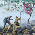 Amerikaanse Burgeroorlog
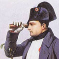 Napoleon en zijn schilders
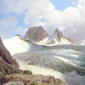 Landschapsschilders uit de Goethezeit
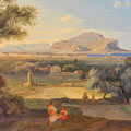 Schilders in Italië
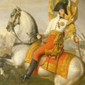 De schilder en zijn broodheer
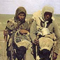 De waakzaamheid van het hart
 Ovidius’ Metamorphosen
 Dantes Divina Commedia
 Wolkenkrabbers
 Op zoek naar de atoomstijl
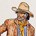 Een avontuur van luitenant Blueberry
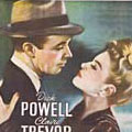 My favourite things